How Residential Architect, Marina Kozul, saved her client ~$200k on her renovation using LARKI 3D Point Cloud.
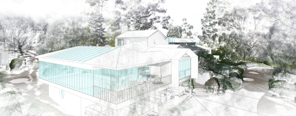
Architect Marina Kozul, of Studio Konstruct, has achieved impressive results using LARKI’s Online 3D Survey Platform to design a home extension in a high bushfire risk area. Melbourne-based Architect, Interior Designer and Builder, Marina has worked across multiple projects at sites across Australia and internationally. Previous works included an interior renovation to Darling Harbour’s Exhibition […]
Doubly detailed feature surveys, with half the time on site

Feature surveys set the scene for every architecture and property development project. The pressure is on land surveyors to provide comprehensive site information so the developer can evaluate the site’s potential and so designers and planners can do their work efficiently and effectively. Delays to the project add costs to the project and therefore decrease […]
How 3D street scans allow signage contractors to win more business
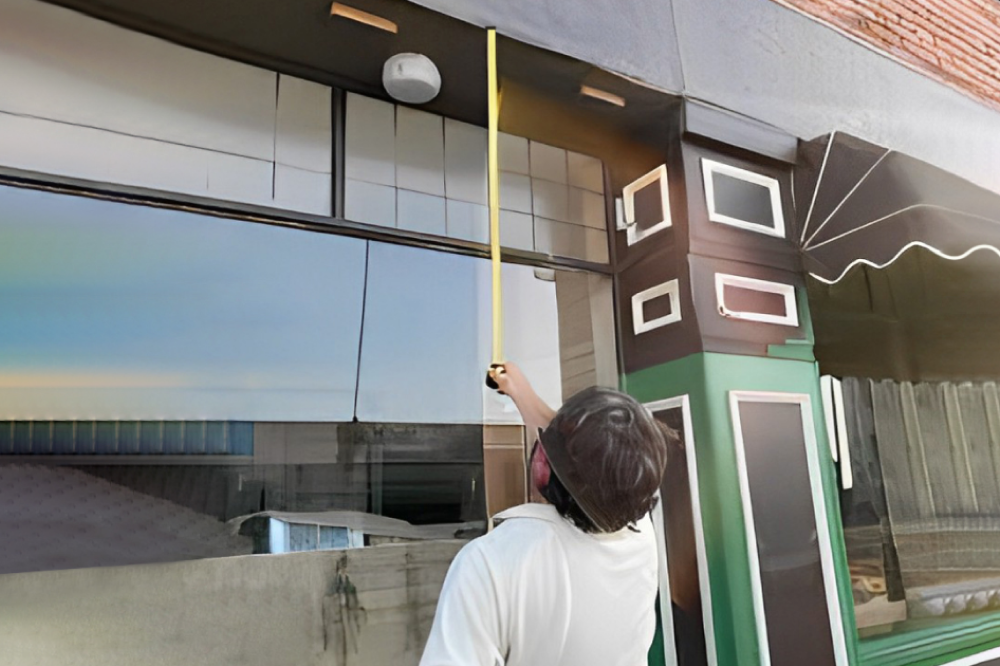
If you’re a signwriter or retail contractor, then you’ll know that time is money. The faster you can quote a job and get on the tools, the more business you’ll be able to win. LARKI is the perfect partner for shopfitters to get your site measurements, without wasting time onsite in person, especially when it […]
No need to sit on the fence! Plan your fence build from your computer
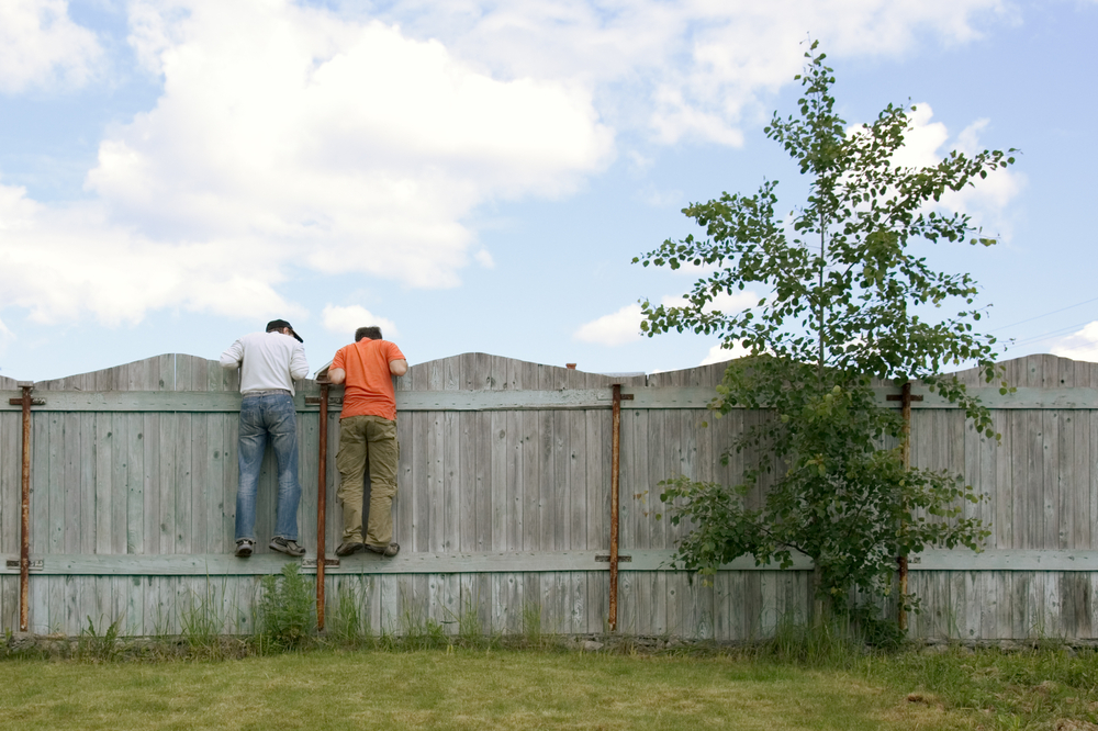
Need to build a new front fence? As a homeowner or fence contractor, you can measure the siting of your fence from your computer. Instead of traveling to site in-person, use a Streetscape 3D Point Cloud on the LARKI Platform web app to do your measure-ups. With the severity of the weather (e.g. the drenching […]
Protecting our environment and heritage with 3D surveys

At LARKI, we are proud of our positive impact on the environment and society because you can’t do a proper environmental or heritage assessment without knowing accurately – and in detail – what is actually there.
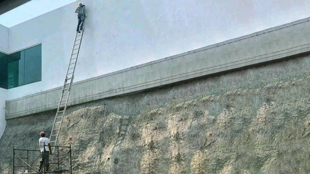
Accidents on the way to site?!
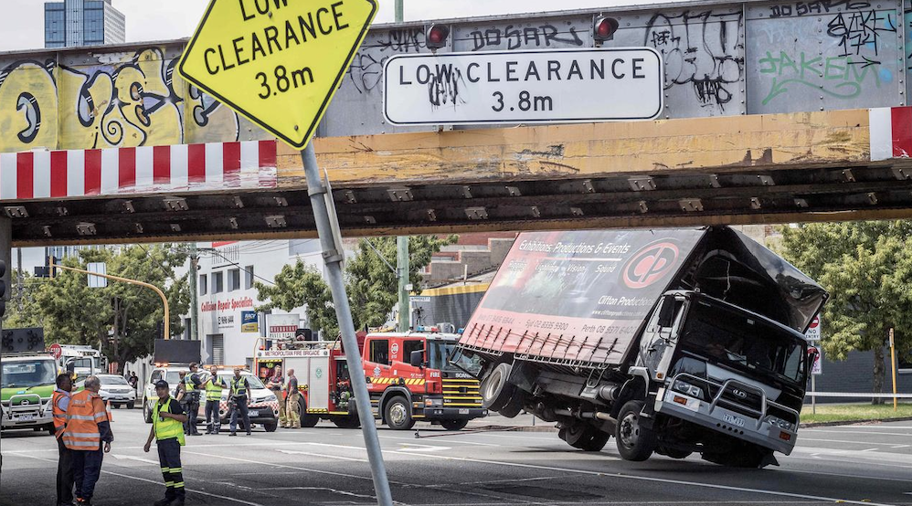
Trying to navigate a tight path to the building site? Don’t risk hitting something! Use a 3D Streetscape Point Cloud for a buildability assessment. Or for transport engineers who need to assess how to get large loads to the site safely. Getting this wrong can literally be lethal! We routinely help builders, engineers, architects and […]
Who needs an argument with cranky councillors?

If you are a property developer, architect or planning consultant trying to get a planning permit (or DA), little details can become big details if you end up in an argument, especially if that argument is with a neighbour, planning authority or worse in a tribunal or courtroom. Getting development approval for your dream renovation, […]
Can’t get the site measurements you need now?
With work-from-home a “new normal” and in-person site measurements often too dangerous, remote site measurements are not just convenient … they’re essential. At LARKI, we believe fast affordable 3D surveys are a game changer for everyone involved in architectural design, property development and urban planning. Put simply, 3D Aerial and Streetscape Point Clouds provide the […]
Need detailed site info for your property development fast?

Property developers require detailed site information to maximise their site yield or return on investment. Property development is a multi-stage process involving a calculated assessment of risk and return. Of the many variables that determine the final profit, one of the largest and most important, is what you pay to acquire your development site in […]
3D Pre-design Event
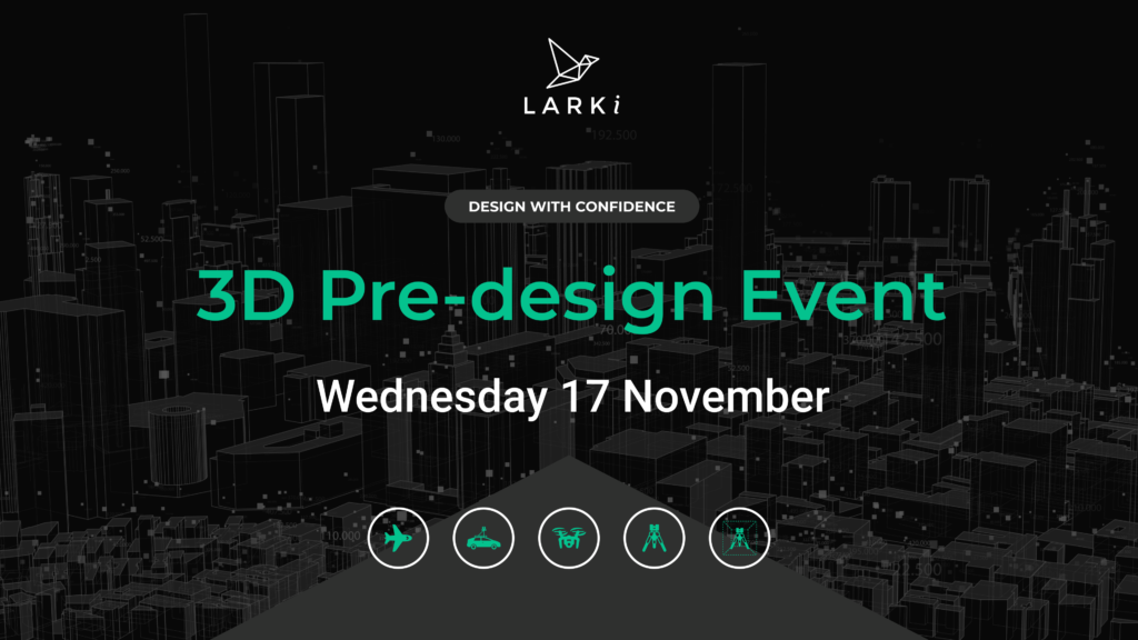
Find out how 3D technology helps architects, with insights from Fred Batterton, the author of ‘Making Property Serve Mission: Rethinking the Church’s Buildings for the 21st Century’ Learn how exceptionally detailed 3D survey data and easy to use web apps from LARKI are helping built-environment stakeholders win back time and design with precision. Join us […]
