


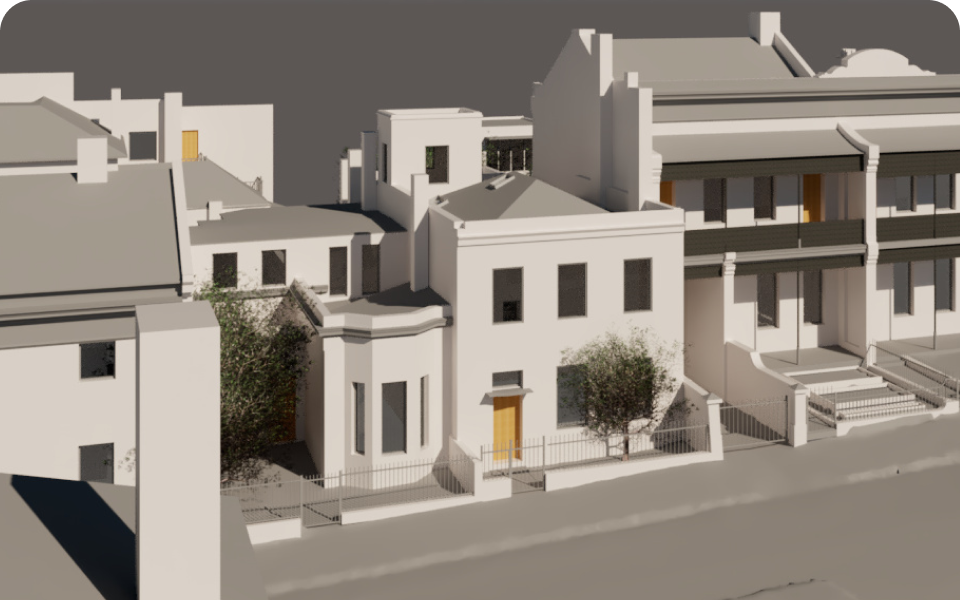


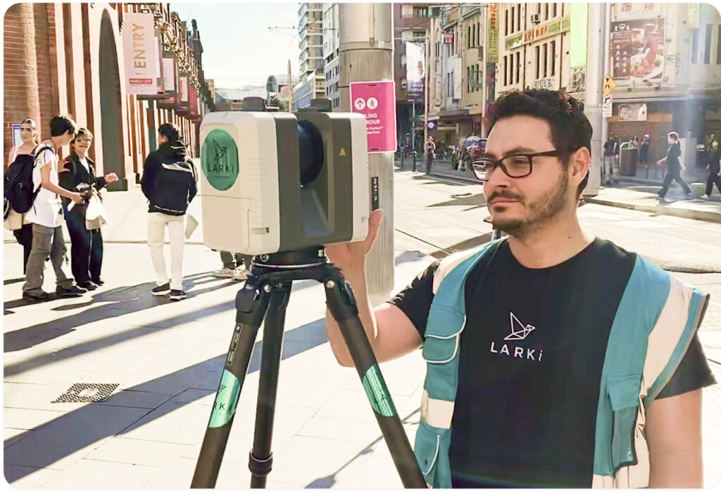
Perfect Fit-Outs Start with Precision: 3D Scanning for Luxury Retail
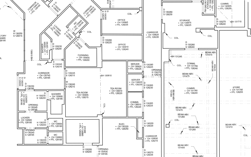
For high-end retail brands like Tiffany & Co. and Bulgari (LARKI customers) every centimetre counts. Shopfitting for luxury stores demands an impeccable level of detail, where curved walls, cabinetry, moulded elements, and structural features must align perfectly. Even the smallest measurement error can lead to costly delays, site-call out fees
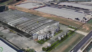
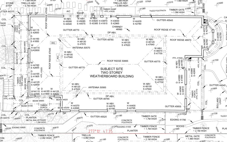
Sell Industrial Properties Faster with Virtual 3D Tours and Precise Measurements.
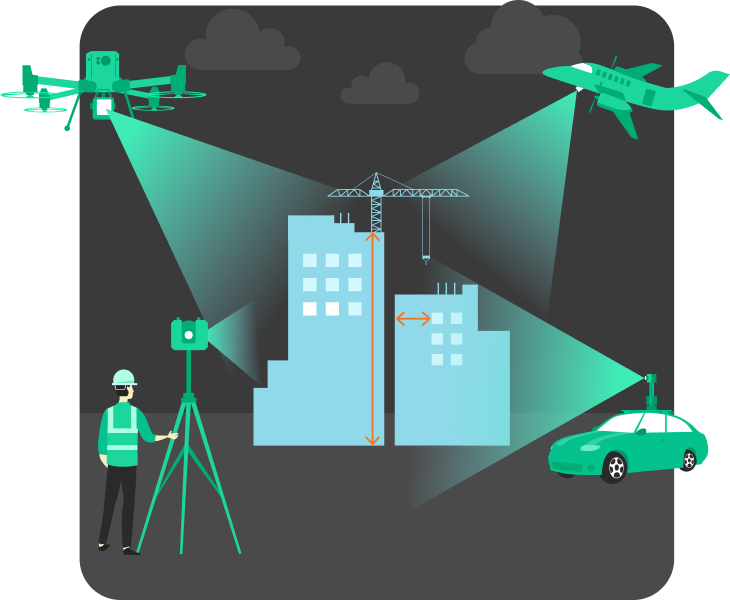
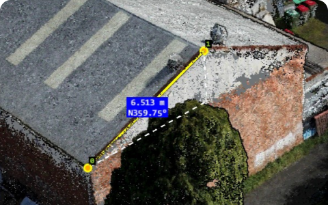
When selling or managing industrial properties which contain complex machinery, clients often need precise measurements to assess a property’s suitability. Standard 2D plans can’t answer crucial buyer questions like: These questions require reliable, highly accurate measurements, especially for buyers planning architectural, structural, mechanical, electrical and fire modifications. 3D Point Clouds
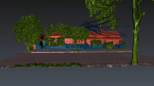
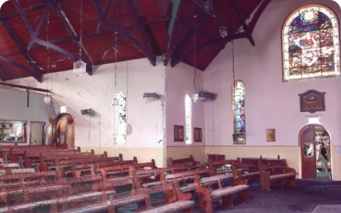
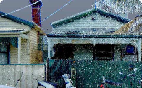
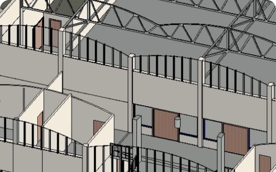
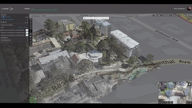
Unlocking the Power of Classified 3D Point Clouds: A Game-Changer for Architects, Developers, and Builders
In the world of architecture, development, and construction, precision is everything. Professionals mentally handle a lot of data day-to-day, and any way to redact and simply site conditions can make the difference between a smoothly executed project and costly setbacks. Classified 3D Point Clouds is one of the latest tools