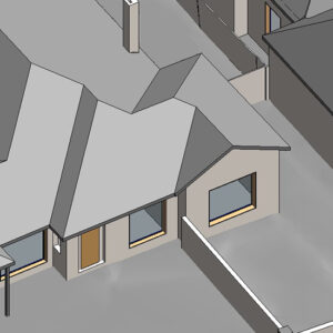
An extraction of the main features from the 3D Point Cloud, this file is a basic best-fit model of the visible topographic surface only, optimised for Building Information Model (BIM) software. The accuracy is limited to obtainable ground surface measurements only, at approximately 100mm contour spacing. Generating accurate terrains that also look good in BIM and drawings can be a pain and take a long time, so let us do it for you, to save you the headache.
Try the LARKI web app features free of charge, such as:
High-res 2D Map – aerial imagery of Australian metros, ideal for briefing stakeholders, front and setback dimensions, building and site areas, zooming in on features seen from the air, and drafting shapes for masterplanning.
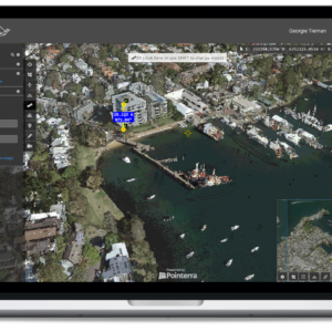
3D Viewer – navigate around and measure 3D Point Clouds and BIM from your web browser, with tools like crop, horizontal cut, section, coordinates, length and area dimensions, annotate and draw in 3D.