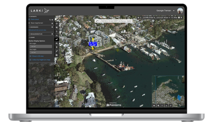
High resolution 2D aerial imagery of Australian metro areas. This plane-captured, high-currency, orthographic imagery can be used to facilitate length and area measurements.
The High-res 2D Map is great for obtaining front and side setback dimensions, building and site areas, zooming in on features seen from the air, drafting shapes on a map for master planning and for briefing the LARKI sales team and other stakeholders.
Use the High-res 2D Map to scope areas for 3D Point Cloud data orders.
Have a question? Keen to know more?
Send us an enquiry and we’ll be in touch!
No credit card details required!
*$45 off max discount per 3D Data order.
Try the LARKI web app features free of charge, such as:
