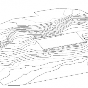
3D Tripod Point Cloud – Interior, Current, High-res.
A tripod-captured 3D Point Cloud file optimised to work in your architectural design software. After being given access, the survey team will be sent out to 3D laser scan. The Point Cloud data will cover accessible interior areas, that are visible from a 2m high tripod on safe footing only. The Point Cloud will be high resolution (<20mm point spacing), colourised, laser scan data.
For BIM enabled architects, this 3D point cloud can be used instead of a site measure-up, so you can design with precision to maximise site yield.
Type: TLS 3D Point Cloud.
Format: RCS/E57/LAS.
Timing: From 5 business days after site access. Tripod Scope Area: From 150m2 approximately.
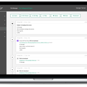
Try the LARKI web app features free of charge, such as:
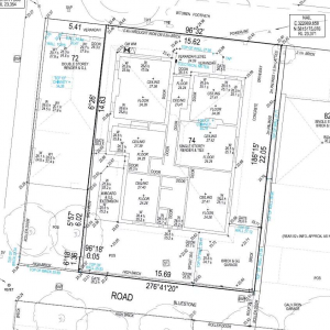
High-res 2D Map – aerial imagery of Australian metros, ideal for briefing stakeholders, front and setback dimensions, building and site areas, zooming in on features seen from the air, and drafting shapes for masterplanning.
3D Viewer – navigate around and measure 3D Point Clouds and BIM from your web browser, with tools like crop, horizontal cut, section, coordinates, length and area dimensions, annotate and draw in 3D.