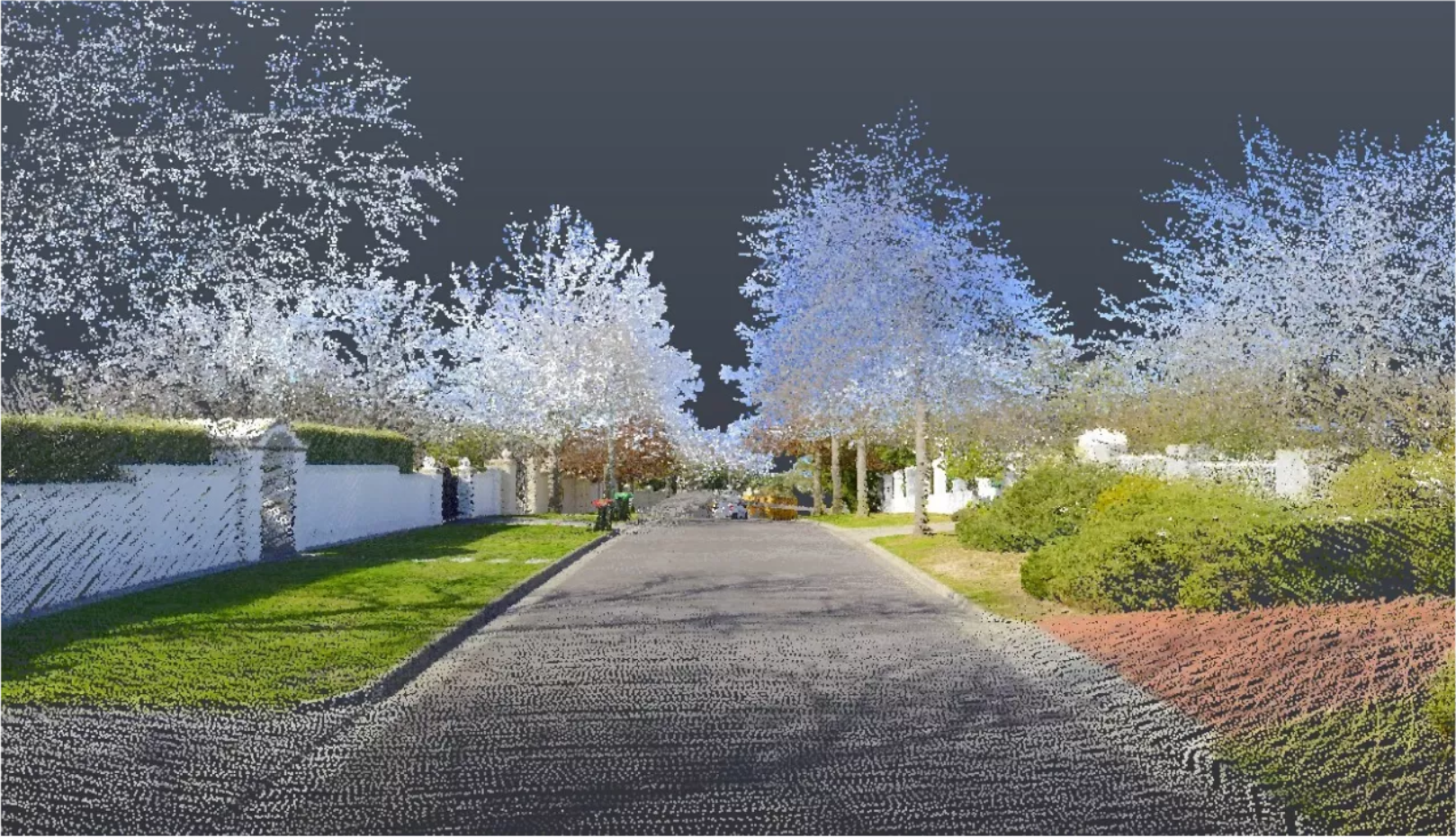
Discover a new way to survey. LARKI’s 3D laser scan data, high res map ordering interface and data management platform are revolutionising the architecture and property development industry.
LARKI supplies exceptionally detailed 3D laser scans (LiDAR) and existing condition architectural models (BIM) online to speed up architectural design & planning permit approvals. Compared to traditional 2D land surveys, LARKI’s 3D surveys are up to 300,000 x better resolution, 5 x cheaper, and 700 x quicker to acquire.
It all starts with detailed and accurate information.
Get a full demo of how our 3D point cloud data and online app works at our upcoming industry event. This event will showcase new LARKI platform benefits to the architecture industry, with a focus on the re-imagined high-res map, dashboard and 3D viewer web app experience.
When: Wednesday 1/9/2021. 6:00 PM to 8:00 PM.
Where: VIRTUAL ONLY.
Register below to attend our event – Hurry spots are filling fast.
Pst… for a lucky event attendee we’ll be giving away a surprise prize valued at $1,000!


