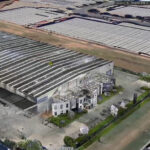
In the world of architecture, development, and construction, precision is everything. Professionals mentally handle a lot of data day-to-day, and any way to redact and simply site conditions can make the difference between a smoothly executed project and costly setbacks.
Classified 3D Point Clouds is one of the latest tools utilised by leading professionals in the AECO (Architecture, Engineering, Construction, and Operation) industry to approach complex projects.
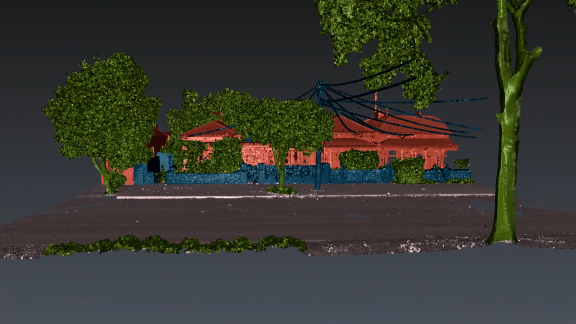
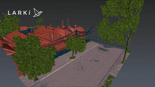
By offering a clear, colour-coded classification of elements such as buildings, vegetation, and ground surfaces, users identify, measure, and plan their work with incredible accuracy. Whether you’re designing a towering skyscraper or heritage restoration, beginning your design process from a 3D Point Cloud allows you to manipulate the view of your data to understand it better.
What is Classification in 3D Point Clouds?
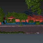
A 3D point cloud is a digital representation of a space, consisting of millions of individual data points captured through technologies like LiDAR (Light Detection and Ranging). The team at LARKI take this one step further by classifying the elements in the point cloud, allowing users to distinguish between buildings, ground, vegetation, and more. This classification is coded with varying colours to better visually understand a site’s conditions. Digitalising means each element can be switched on/off within the platform.
For example, architects can hide distractions like trees or surrounding structures with just a click, allowing them to focus on the key components of their design. Developers can easily pinpoint terrain features, while builders can ensure that every element of the project aligns with real-world conditions.
The ability to toggle between different classifications gives users unprecedented control over their data, helping them avoid costly errors from incomplete or misunderstood information.
Revolutionizing Planning, Design, and Building
LARKI’s classified 3D point clouds represent a significant leap forward for the AECO industry. By automating and simplifying the process of visualizing complex site conditions, LARKI empowers professionals to design more accurately and efficiently than ever before. With each element of the site color-coded and classified, architects can spend less time interpreting data and more time focusing on creative, high-value design tasks.
Moreover, the streamlined workflow provided by LARKI’s platform can help planners and developers avoid unnecessary site visits, manual measurements, and guesswork. Builders will appreciate the precision that ensures everything aligns during construction, reducing the need for costly rework. For large-scale developments, the impact of such improvements can be measured in thousands of dollars saved across reduced holding costs, fewer requests for information (RFIs), and fewer delays.
Ready to Revolutionize Your Workflow?
With LARKI’s classified 3D point clouds, you can design and build with confidence, knowing that your data is accurate, comprehensive, and easily accessible. Whether you’re an architect, developer, or builder, the benefits are clear: fewer errors, faster workflows, and better overall project outcomes.
Say goodbye to traditional, error-prone surveys and hello to a new way of working. Visit LARKI today and discover how classified 3D point clouds can transform your next project.
There’s more information about our products and membership discounts on our website and in our brochure. Reach out to a member for a complimentary demonstration of the LARKI Platform – book a demo here!