Install plug-in here:
https://geospatial.trimble.com/products-and-solutions/trimble-scan-essentials-sketchup
Note: Must have Sketchup 2019 or above
In Sketchup,
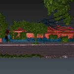
1. Import a point cloud file
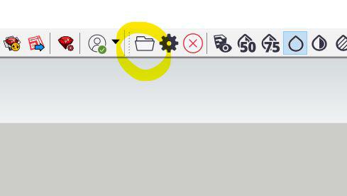
2. Open RWP file (or when opening from e57, this will save as RWP)
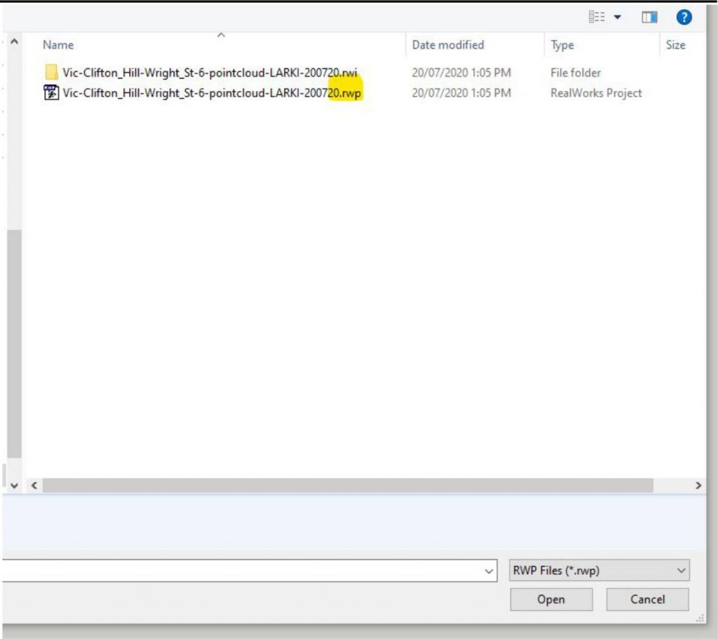
Note: If a warning pops up, choose ‘No’ so that import is origin to origin.
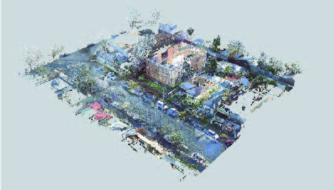
3. Done. You’ve imported your first point cloud. 🙂
Resources:
For overview of the tools
For other plug-ins:
If you need to edit the point cloud (e.g. delete the points representing the parts that will be demolished) – this is a free point cloud editor that works on Macs: https://www.danielgm.net/cc/
Or download CloudCompare (recommended for Windows) from: